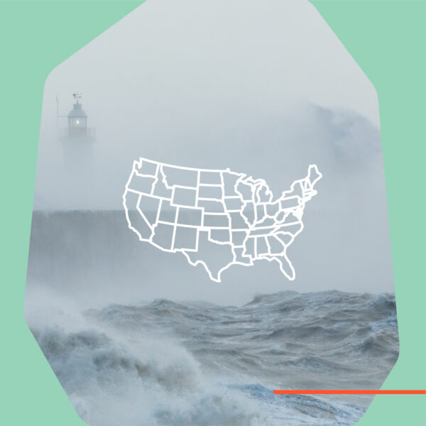
Extreme Weather Map Tool & Playbook
Polling increasingly shows a connection between experiencing extreme weather and prioritizing climate change. And localized message testing during extreme weather events has demonstrated a significant increase in response to fundraising and advocacy appeals. (Full case study here)
The National Wildlife Federation and the Innovation Hub developed these map tools and playbook to empower environmental organizations to act on FREE, publicly available extreme weather data in message development and audience targeting.
Mapping Tools
- Extreme Weather by ZIP Code 2017 to 2024
- Extreme Weather by Congressional District 2017 to 2024
- Real-Time Air Quality May 2025 to Yesterday* by ZIP Code
- Real-Time Air Quality May 2025 to Yesterday* by Congressional District
- Real-Time Extreme Heat May 2025 to Yesterday* by ZIP Code
- Real-Time Extreme Heat May 2025 to Yesterday* by Congressional District

Innovate With Us
We are in this together – and welcome your inquiries, contributions, and ideas.
Reach out to: